
http://eoimages.gsfc.nasa.gov/images/imagerecords/88000/88828/storms_uni_2016271_lrg.png
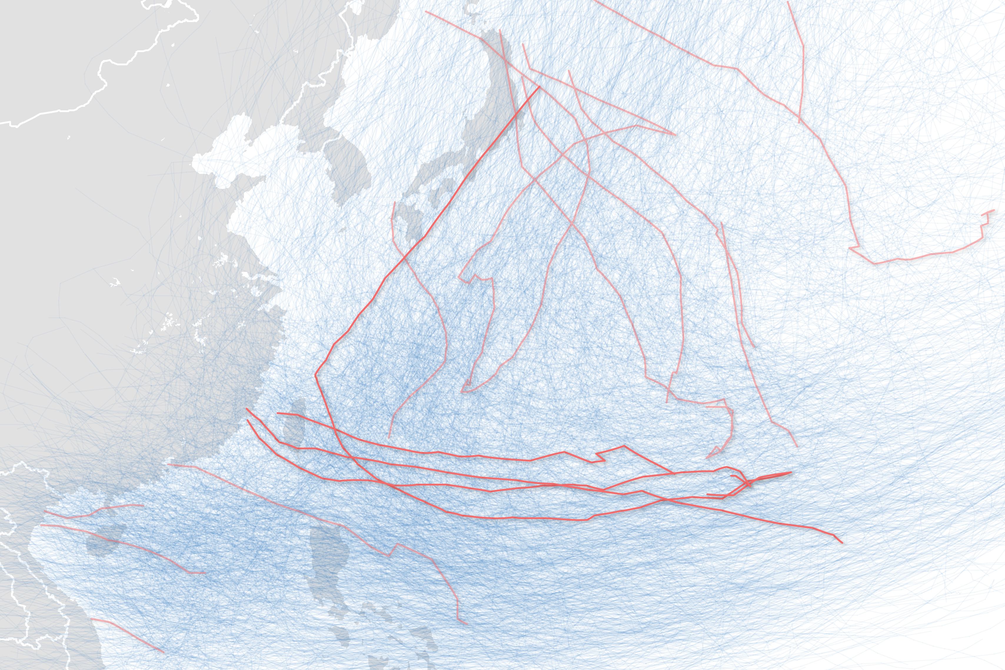
"The map above shows the most recent storms to come near to Taiwan in deep red, with lighter red lines denoting 2016 storms in the southeast. The tangle of light blue lines shows the pathways historical storms have etched across the region."
via http://earthobservatory.nasa.gov/NaturalHazards/view.php?id=88828